Scientists working to learn more about flooding
 BBC
BBCScientists in Oxfordshire are developing ways to better understand and predict flooding.
A team from the UK Centre for Ecology and Hydrology (UKCEH) in Wallingford is part of a £38m project working to respond to extreme weather events.
The research, a partnership with the British Geological Survey, Imperial College London and the University of Bristol, hopes to reveal the processes and factors involved in flooding.
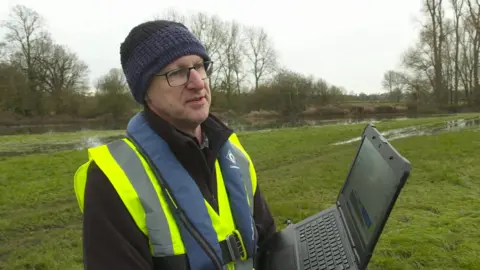
Nick Everard, a senior hydrometric scientist at UKCEH, said: "Floods are increasing all around the world and, as climate change impacts, we're seeing bigger floods.
"Knowing the scale of those floods and knowing if those floods are getting bigger and more severe is really important for us to predict the future and plan flood defences."
To help understand floods, the team is testing and developing technology to more accurately measure the flow of water.

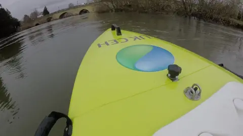
Researchers from UKCEH are using a £65,000 remote-controlled boat, which is fitted with acoustic sensors that can produce a cross-section scan of rivers and the velocity of water at different depths.
Drone technology and satellite imagery is also being used. The speed of the water in a river can be major contributing factor to flooding.
"We've already proved that we can measure water speed using optical video from space," Mr Everard said.
"The next step is to see whether a radar in space can give us water speed as well. The benefit being it's unaffected by cloud cover."
As well as mobile monitoring devices, the project will test a range of fixed digital instrumentation at specially selected locations including the River Chess within the River Thames' catchment.
It is hoped data from the joint project will help government agencies, local authorities, water companies and land owners develop better infrastructure and systems that are more resilient to extreme weather.
You can follow BBC Oxfordshire on Facebook, X (Twitter), or Instagram.
